
Jason Persoff Stormdoctor
Tornado Science: Predicting The Whirlwind
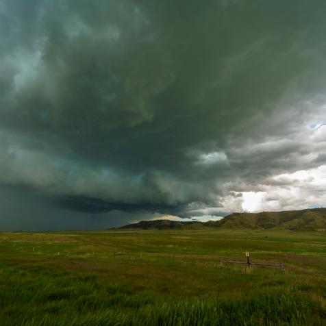
Tornadoes, wild rotating vortexes of high-speed winds, are among the most feared of nature’s destructive storm forces. Researchers are working tirelessly to predict these storms with better early-warning systems.
These ‘twisters’ or cyclones are produced by supercell thunderstorms and can reach speeds of up to 300 miles per hour stretching two miles in diameter.
Beyond Catastrophic
Chris Kridler
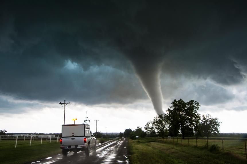
In the past decade the economic damage caused by tornadoes in America alone is estimated to have cost more than $21 billion. Large cyclones can rip up smaller buildings and cause severe structural damage to skyscrapers. Human fatalities are the ultimate cost, with more than 40 killed in 2019, so forecasting how and when tornadoes form is an urgent assignment for organizations like the National Severe Storms Laboratory (NSSL).
The NSSL works with the NOAA Storm Prediction Center on daily forecasts for severe thunderstorms and monitoring high-risk areas. The laboratory runs sophisticated computer forecast models based on data gathered from weather balloons, aircraft, satellites, and surface weather stations.
The Tools at Hand
Drew Angerer
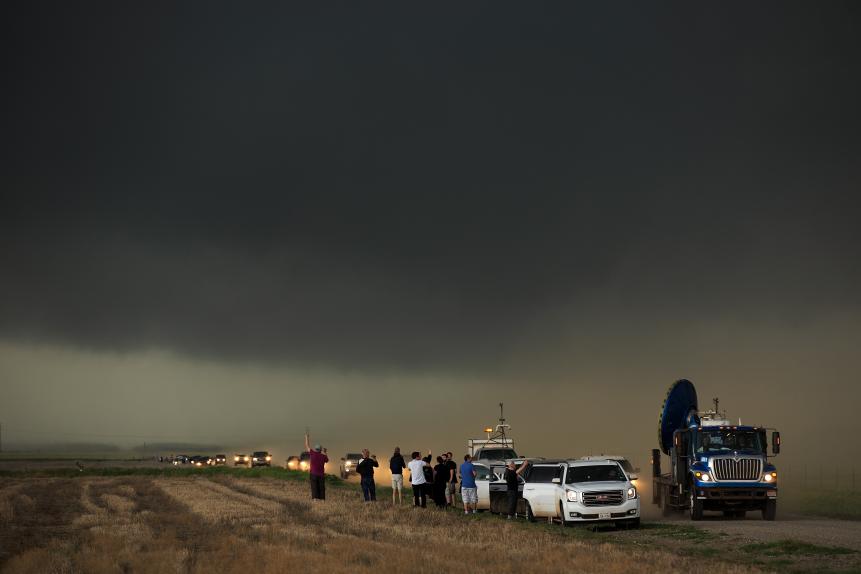
Radar is another essential forecasting tool. Doppler weather radar emits and receives electromagnetic waves that show how wind is circulating near and inside a storm. Researchers at Penn State University have gathered radar data from more than a hundred supercell thunderstorms and found structural differences in those that produce tornadoes.
Using polarimetric readouts from the US radar network, the group noticed differences in the way areas with different raindrop density and size were arranged. The algorithm they created to describe it could now be adapted so forecasters can update their warnings to be more accurate in real time.
Updated readouts cannot come too soon. There are around 1,200 tornadoes in the US each year, the most of any country. Strong cyclonic storms can happen year-round, but tornado formation is thought to peak around late spring to summer. Every state is vulnerable but ‘Tornado Alley’ – a strip extending from Texas northwards up to South Dakota and Minnesota – experiences the most.
Intense Measurement

Niccolò Ubalducci Photographer - Stormchaser
Authorities measure tornado intensity based on damage caused: starting at EF0 on the Enhanced Fujita Scale, with minor damage to buildings and vegetation, moving through to EF5 with winds exceeding 200 miles per hour, toppling skyscrapers, and throwing trains and trucks up to a mile.
Forecasters already earmarked 2020 as a year of increased tornado activity due to favorable sea temperatures and upper atmospheric conditions. Korean scientists have found that cool tropical Pacific Ocean temperatures and warm conditions in the Gulf of Mexico can funnel fast-rotating moist air into the Great Plains, fueling thunderstorms and tornadoes.
Past efforts to understand shifting weather patterns and climate signals led to meteorologists at Northern Illinois University predicting increased tornadic activity weeks in advance, based on quickening turbulence in the jet stream. Another signal they noticed was increased frequency in the southeast and Midwest states.
Shifts in weather stability in the southeast and Midwest are now fact, leading to more tornado activity that might be linked to climate change. So the advantage that prior warning systems like infrasound monitoring provide could make all the difference.
Infrasound, or low-frequency sound, cannot usually be heard by humans, but can be picked up by acoustic equipment. An Oklahoma State University group discovered that infrasound is emitted by storms more than an hour before tornadoes form. These oscillations can be monitored from hundreds of miles away so storm chasers do not need to get so close to get data.
Using this method alone could increase warning times and decrease false alarms. Scientists are now adapting instruments that were built to detect illegal nuclear weapons testing to listen in on storms from afar.
Improvements Must be Made
john finney photography
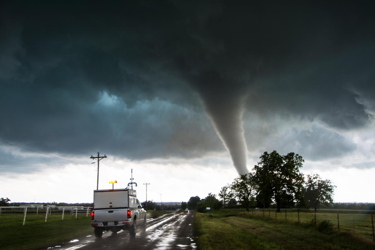
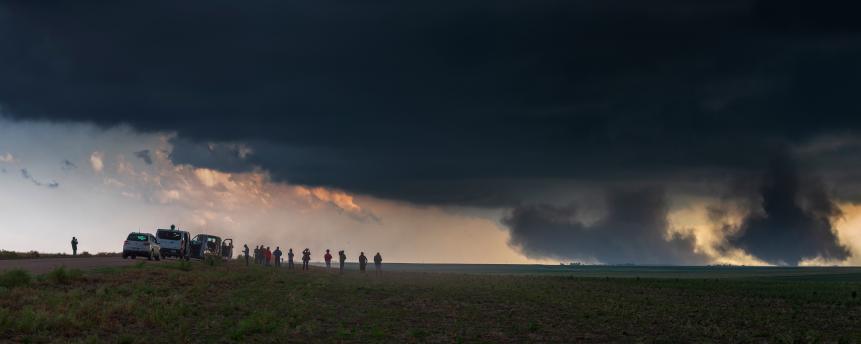
Remote monitoring will undoubtedly improve detection and warning times. Up close observation, through human spotters and drones, will make sure alert systems remain resilient and data gathering is improved. The Targeted Observation by Radars and UAS of Supercells (TORUS) project is a unique organization deploying more than 50 scientists to study supercell storms using cutting-edge technology.
TORUS can launch four drones at a time into thunderstorms to gather atmospheric data. Mobile radars, mesonets (trucks carrying meteorological instruments) and LIDAR – laser mapping technology – provide the team with enough localized information to give a 360-degree view of the conditions that create tornadoes.