


GettyImages/Jose Luis Stephen
Satellite Saviors: How Earth-orbiting Sensors Can Help Save the Planet
Making the planet safer with Earth-orbiting technology
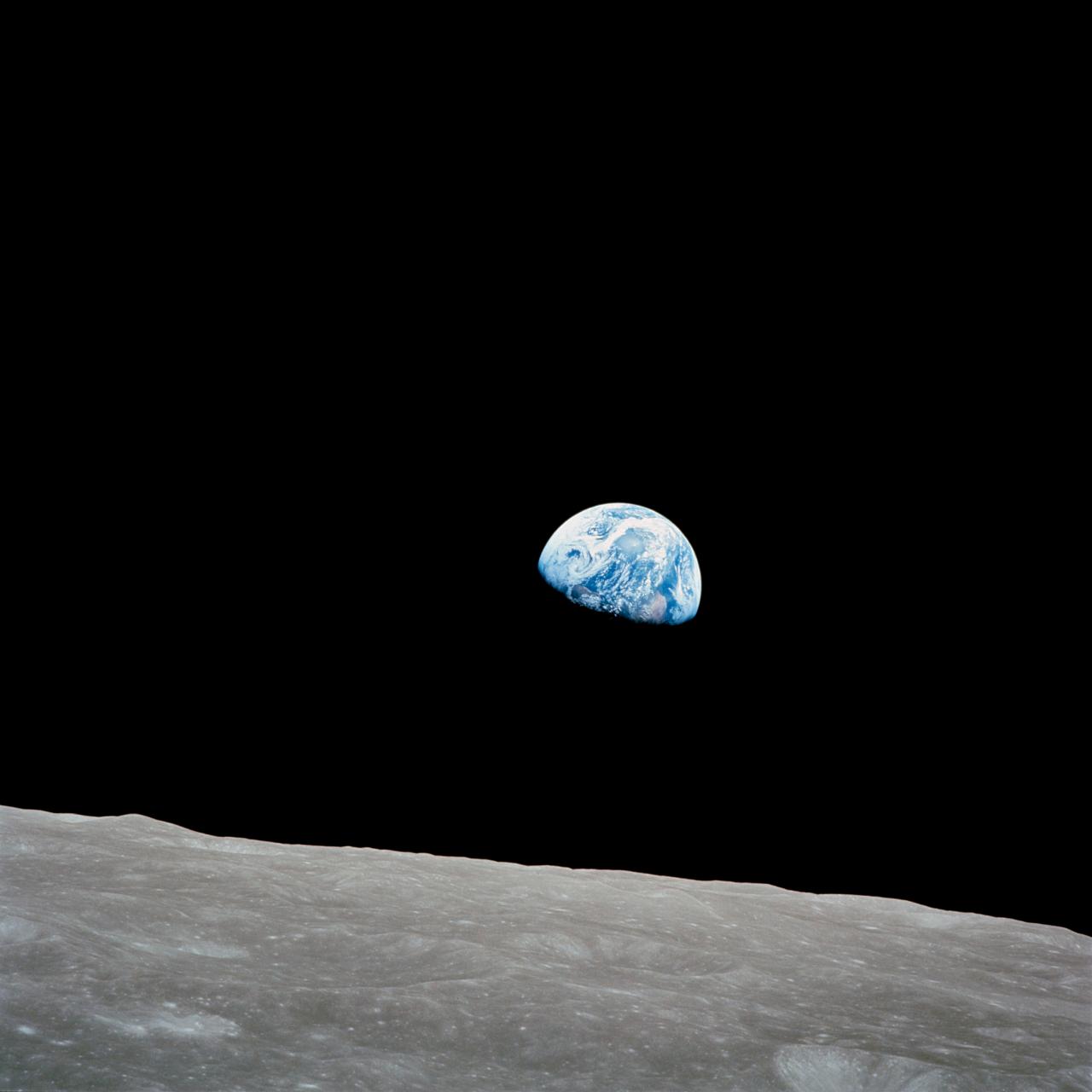
Space seems to be the place that the human race thinks seriously about its existence. Ever since Apollo 8 astronaut William Anders took the famous ‘Earthrise’ picture from lunar orbit in 1968, we have become more aware of our responsibility to treat Earth with respect.
His iconic depiction of our home planet, small and fragile against the black depths of space, has been called "the most influential environmental photograph ever taken" by Nature photographer Galen Rowell.

GettyImages/Stocktrek Images
This was followed on December 7, 1972, by another iconic photograph from the Apollo 17 crew. The 'blue marble' picture, as it came to be known, was the first to show the south polar ice cap and is one of the most widely distributed photographic images ever.
That image was updated by the Suomi NPP satellite for a new generation in 2012. The Suomi supports NASA's Earth Observing System with the weather and long-term climate data alongside information on vegetation, the health of the ozone layer, air pollution, and planetary temperatures.
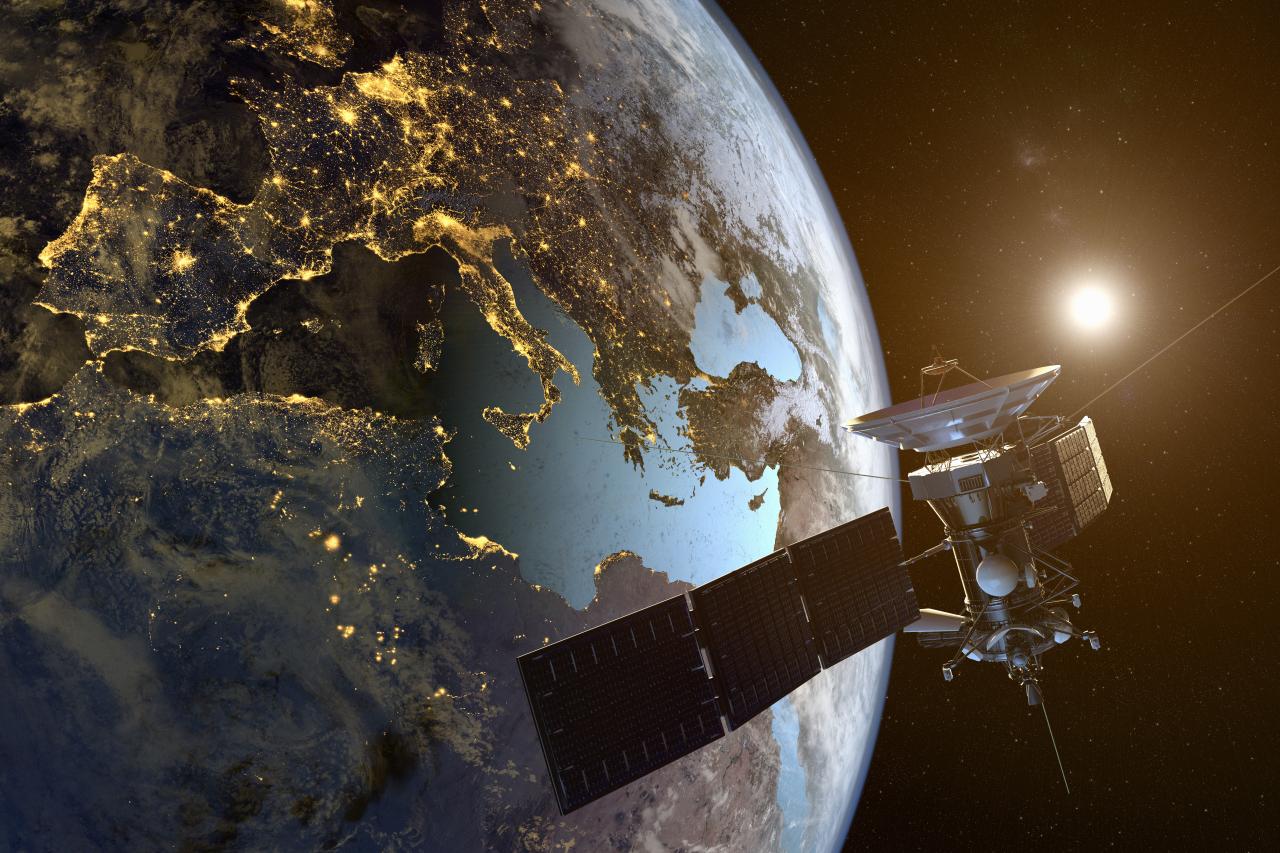
Satellites are near-perfect tools for observing our planet. Traveling in orbit, they can cover the entire Earth's surface, either alone or in scalable networks. They provide GPS information alongside voice, data, and video transmission.
Couple that with geographic information systems (GIS) and organizations can build detailed world maps to identify problems, monitor changes, identify trends, and allow teams to respond to events (including natural disasters) quickly to prioritize action.
Satellites are so powerful because they provide data over time – allowing us to see environmental changes over days, months, or even years. They cover serious distance, from high-resolution images of the Earth's surface measuring only a few square meters to entire countries or continents.
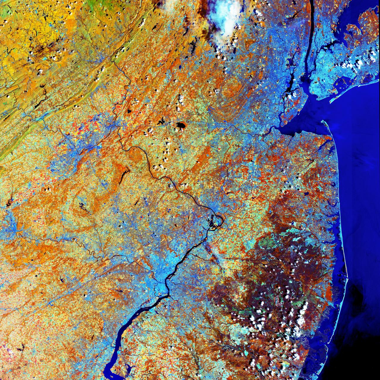
The longest-serving Earth observation satellites are part of NASA's Landsat program. Landsat 1 was launched in July 1972 and the most recent, Landsat 8 (carrying a land imager and thermal infrared sensor), entered orbit in February 2013. NASA administrator James Fletcher commented that if one space-age development could save the world it would be Landsat and its successors.

GettyImages/leomadvr
Landsat sensors have a moderate spatial resolution to see large man-made objects, such as highways to track urban growth. The Landsats have collected spectral information that has been used to manage natural resources in agriculture and forestry, to map the shrinking Aral sea, and track glacial retreat in Alaska.
The European Space Agency’s equivalent is the Sentinel program. Sentinel launches began in April 2014 and four satellites are now in orbit. Their missions include radar and super-spectral imaging to monitor the land, sea, and atmosphere.
Sentinel 3 mapped the unprecedented outbreak of wildfires in Siberia in July 2019 caused by record-breaking temperatures and lightning. The Sentinel 5P satellite captures images of air pollutants created by traffic and industrial activity. Its data will help doctors understand more about respiratory disease and how that contributes to premature death.
Some of the most urgent responses are needed when natural disasters occur – think landslides, earthquakes, and volcanic eruptions. Satellites provide backup communications for crews working in the area. They also give detailed before and after pictures, helping to identify damaged buildings and sourcing places to relocate local people. The early detection of severe tropical storms by weather satellites such as Meteosat has saved thousands of lives as well as limiting damage to property and critical infrastructure.
Satellites also allow us to track the impact of factors like habitat destruction on species such as arctic wildlife – one project counted polar bears from space. Another, the International Cooperation for Animal Research Using Space (ICARUS) aims to track thousands of animals using tiny transmitters to establish migration patterns, tackle wildlife crime, and provide real-time monitoring of Earth’s biodiversity.


 Opens In Beijing")